"Maps play a very important role in the study of geography. They tell us about places and help us to identify patterns and changes in the landscape. A map is a graphic representation of part of the earth's surface drawn to scale on a flat surface. The amount and type of detail shown on a map depends on the scale and purpose of the map."
Types of maps:
Range from very simple to very complex. Cartographers make maps using symbols, shading and colour to simplify reality and show how the features of the earth's surface are arranged and distributed. Some common maps include:
Range from very simple to very complex. Cartographers make maps using symbols, shading and colour to simplify reality and show how the features of the earth's surface are arranged and distributed. Some common maps include:
- Topographic Map
- Weather Map
- Thematic Map
- Street Maps
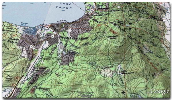
Topographic Map
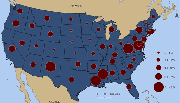
Thematic Map
|
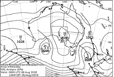
Weather Map
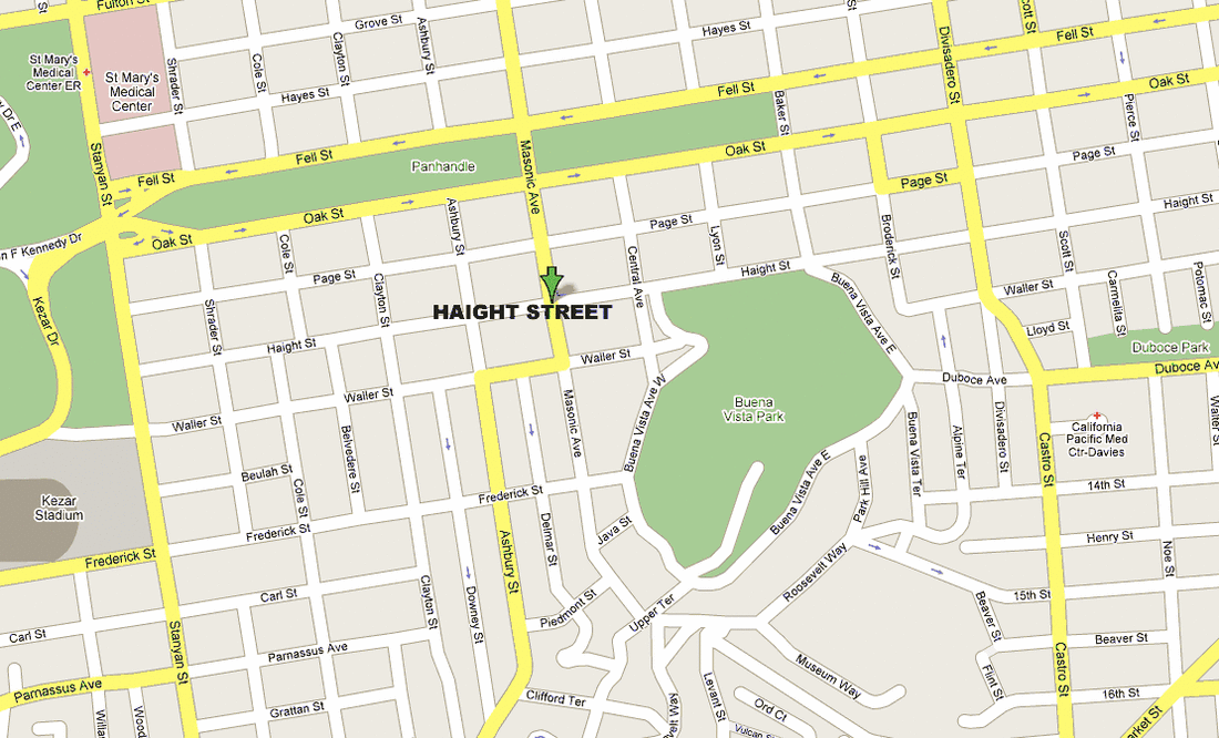
Street Map
|
|
Elements of a Map:
BOLTSS B - Border O - Orientation L- Legend T - Title S - Scale S - Source |
Quadrants:
Are used to help locate features on a map. The map is sometimes divided into four areas: 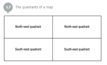
|
Complete these questions in your work book:
- Define the four types of maps
- What are the elements of a map?
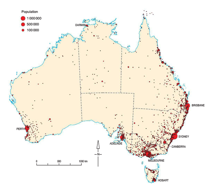
- Using figure 1.6 (below or page 8 of Pearson), answer the following questions:
- Name the quadrant/s that include cities with populations of over 1,000,000 people
- Name the quadrant/s in which the least amount of people live
- What is the scale of this map?
- Using this scale, approximately how many kms is it from Perth to Brisbane? (Hint: use your textbook and a ruler)
Complete the interactive activity on page 9 of Pearson
